For some time, I have been working with satellites and their intrusion upon astronomical imagery.
On March 17, 2020, Satellite 1148 crossed the DECam Field of View at Cerro Tolo. Using TLE data, I plotted the satellite path.
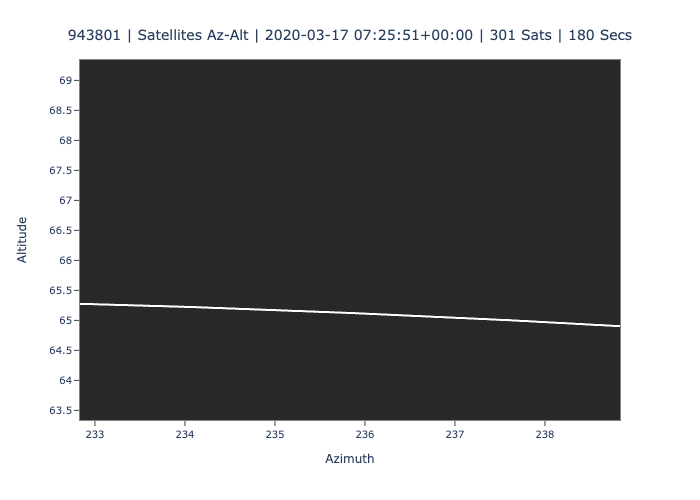
Since then, I worked on created 2D animation from the perspective at the observing site in terms of Azimuth and Altitude:
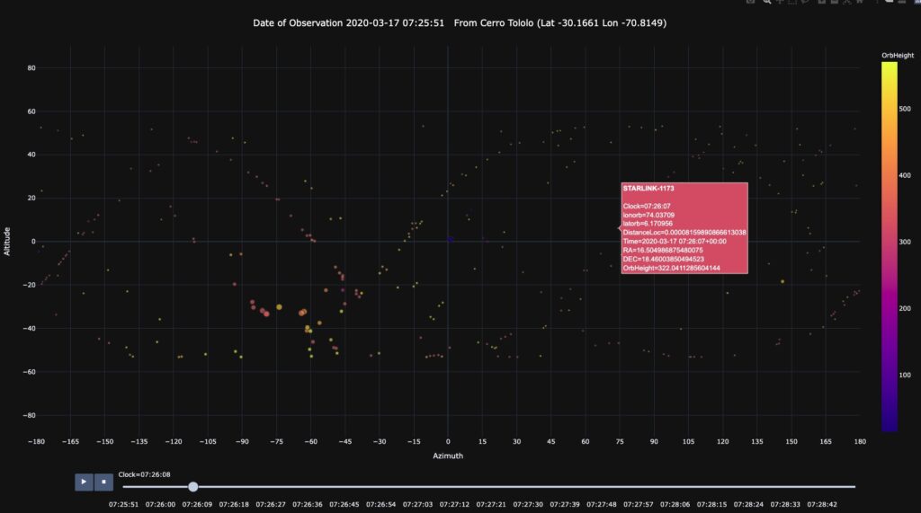
I then ported this to plotly express to obtain more of a dynamic animation.
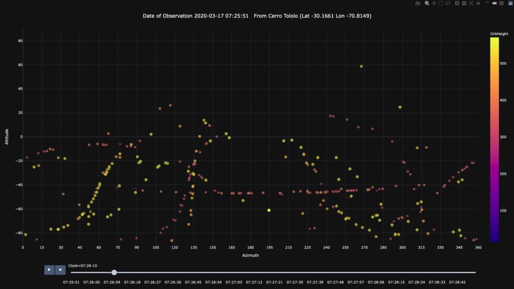
The same animation can be viewed from the perspective of latitude and longitude. In the plot and animation below, the size of the satellites appear relative to the distance between the satellite and the observing site.